
Market Update · 22 min read
The CR-486 Interchange Map Comes Up October 26
Citrus County’s applications list sets the CR-486 Interchange Management Area adoption hearing for October 26, 2026, at 5:01 p.m. The June 22 board transmitted the draft as CPA-2026-00002. The same list tracks the county consultant file as CPA-2025-00008. The transmitted map is about 1,560 acres around the Suncoast Parkway interchange at Norvell Bryant Highway. It is not an adopted plan, and it is not a subdivision approval.

Citrus County has a CR-486 interchange map on the calendar, and it is not adopted yet. The development-applications page, last updated August 18, 2026, says Wade Trim, as a consultant for the county, prepared comprehensive plan amendment CPA-2025-00008 to propose an interchange map area and comprehensive-plan standards for a CR-486 Interchange Management Area. The Planning and Development Commission column reads May 7, 2026, approval. The Board of County Commissioners column reads June 22, 2026, 5:01 p.m., transmit, and October 26, 2026, 5:01 p.m., adoption.
The June 22 hearing used a second file number for the same 5:01 p.m. item. The agenda, the May 21, 2026 draft ordinance in that packet, and the approved minutes call it CPA-2026-00002. The motion that night was to transmit the application to the Florida Department of Commerce and state agencies. The minutes record that motion as adopted, with Holly L. Davis moving, Jeff Kinnard seconding, ayes from Davis, Rebecca Bays, Kinnard, and Diana Finegan, and a nay from Janet Barek. A transmitted draft is a state-review file. It is not the effective comprehensive plan.
Carry both numbers into October. CPA-2025-00008 is the label on the county applications list. CPA-2026-00002 is the label on the ordinance draft and the minutes. They describe one county-drafted map around the Suncoast Parkway interchange at West Norvell Bryant Highway, which is County Road 486. This briefing is that map. It is not a lot pitch, and it does not invent a Citrus absorption rate.
It sits next to Black Diamond Town Center, Crystal Ridge, and the people-and-schools briefing. Those are different papers on the same August 18 list and the same county. A future-land-use hearing does not record a plat, and a plat does not adopt a map. For the corridor habit that already exists, keep the Lecanto home guide, the Lecanto retail corridor guide, the Citrus commercial overview, and the Florida markets page in the same reading list.
Two official numbers, one hearing
The applications page is Development Applications Submitted. Joanna Coutu, AICP, is named as Land Development Director at 3600 W. Sovereign Path, Lecanto. The page warns that statuses change and that the posted vintage is August 18, 2026. On that vintage the IMA line is a county file, not a private applicant. Wade Trim prepared it for Citrus County. The sentence is an interchange map area plus comprehensive-plan standards. It does not print a builder, a lot count, a rent, or a price.
The clerk’s record of the June 22, 2026 regular meeting is the place the second number becomes official. Item U.1, set for 5:01 p.m., is titled CPA-2026-00002, CR-486 Interchange Management Area. The recommended action, printed on the agenda and in the packet, was to direct the chair to transmit the application to the State Department of Commerce and state agencies for review and comment. Eric Landon, Growth Management Director, is the name on that agenda line. County Attorney Denise A. Dymond Lyn read the proposed ordinance title. Coutu gave the overview. Amanda Warner and Brad Cornelius, planners with Wade Trim, presented. The board discussed the draft. Citizens spoke. The motion to approve and transmit passed with one nay.
Read the word the minutes use. Result: Adopted means the board adopted the motion to transmit. The signature block on the May 21, 2026 draft ordinance in the same packet is still blank. The ordinance number line reads “ORDINANCE NO. 2026-” with the rest unfilled. Section 7 of that draft says the amendment, if it is not timely challenged, becomes effective 31 days after the state land planning agency notifies the county that the adopted-amendment package is complete. If it is challenged, it becomes effective when a final order finds it in compliance. The same section says no development order, development permit, or land use that depends on the amendment may be issued or commence before that effective date. Transmittal on June 22 started state review of a draft. It did not start that 31-day clock, because the clock in the draft is written for an adopted amendment.
The June 15 packet still marked the final adoption hearings as “PDC and BCC (TBD)” inside an August–October 2026 window. The August 18 applications page is the later official date: October 26, 2026, at 5:01 p.m. The clerk’s calendar has a Board of County Commissioners regular meeting that day. As of September 24, 2026, that meeting’s published-file list did not yet include an agenda or an agenda packet. The hearing time to carry is the one the applications page printed. A published October packet, when it exists, is the place to confirm the item number and any change the state review sent back.
What the transmitted draft would put on the map
The draft ordinance would amend Chapter Ten, the Future Land Use Element, by adding a future-land-use category titled the County Road 486 Interchange Management Area, shortened in the text to 486IMA. The category is tied to the Suncoast Parkway interchange at County Road 486. Objective 17.39 says the category is consistent with the “Focused Growth Scenario” of the Tampa Bay Regional Planning Council’s *Suncoast Parkway 2 Transportation Corridor Land Use Study*, dated May 19, 2019. Policy 17.39.1 adopts the IMA boundary as part of the future-land-use map series, Figure 10-38, and adopts that 2019 study by reference for data and analysis.
The county had already said, in public, that the Focused Growth Scenario was the board’s chosen guide. A county workshop page for August 24, 2022, at the Lecanto YMCA, 4127 West Norvell Bryant Highway, from 5:30 to 7:00 p.m., describes an open house that was not a hearing. The consultants named on that page were CHW Professional Consultants, Ayres Associates, Donnelly Architecture, and Avis Craig. The page says the Tampa Bay Regional Planning Council prepared several land-use scenarios and the board chose the Focused Growth Scenario. The 2026 draft is the comprehensive-plan text Wade Trim later wrote against that choice. The 2022 open house and the 2026 ordinance are different vintages. Do not treat a 2022 workshop as the October 26 vote.
Policy 17.39.2 splits the map into two subareas. The Economic Development Target Area, the EDTA, is the land adjacent to the on- and off-ramps. Everything in the IMA that is not in the EDTA is the Mixed-Use subarea. Job-producing light industrial, manufacturing, and professional offices are directed to the EDTA. Local and regional commerce and workforce housing are directed to Mixed-Use. The intent sentence also names warehousing and supporting uses in a coordinated, campus-like setting.
Wade Trim’s slides in the June packet, sourced to the Citrus County Property Appraiser for October 2025, size the proposal at about 1,560 acres. The EDTA slide reads about 720 acres and 105 parcels: 36 vacant parcels and 265.5 acres vacant; 68 developed parcels and 444.5 acres developed, including 23 single-family parcels; and a separate FDOT line of 40 parcels. Mixed-Use is about 837 acres: 67 vacant parcels and 660 acres, including 5 agricultural parcels and 237 agricultural acres; 53 developed parcels and 177 acres, including 21 single-family parcels. The slide’s own notes say the totals are affected by rounding and that some acreage is not in parcels, including about 10 acres of unclassified right-of-way in the EDTA. Do not add the bullets into a new total the county did not print.
The same packet’s technical memo, version April 3, 2026, and headed as the May 7, 2026 Planning and Development Commission transmittal hearing, describes the current future-land-use map inside that boundary. About 60 percent of parcels are low-density or medium-density residential. About 30 percent are industrial or general commercial. The remaining 10 percent are the other designations, including residential mixed-use, high-density residential, mobile-home park, professional service and office, public and institutional, extractive, and transportation or utilities. By acreage, about half is low- or medium-density residential, 38 percent is industrial, general commercial, or residential mixed-use, and 12 percent is everything else. A new category laid over that mix does not erase the houses and the yards that are already there. Policy 17.39.4 says lots of record keep the standards of the underlying district until a project trips the new category.
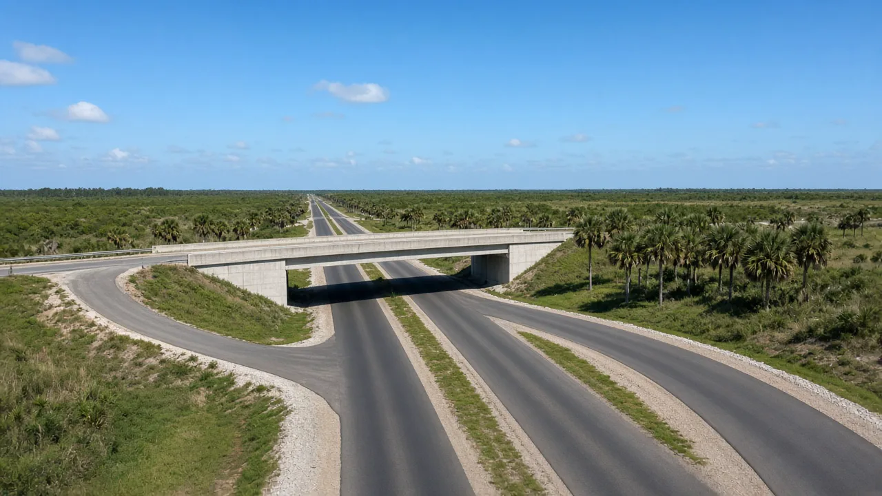
How a project would trip the new category
Policy 17.39.3 applies the 486IMA rules only when something happens after the effective date. Three triggers are printed:
- A proposal that is newly non-residential or mixed-use.
- An expansion of existing non-residential space that exceeds 25 percent of the legally permitted gross leasable area, or a change of occupancy type under the Florida Building Code that also requires more parking or other site work.
- An expansion of existing residential development past the number of legally permitted dwelling units.
An existing planned unit development, as of that effective date, may keep developing, or redevelop, under the PUD that is already approved. A change to that PUD that meets one of the triggers has to meet the 486IMA rules. A house that is already legal does not become illegal because a map hearing is on the calendar. A new commercial building, a large expansion, or extra units would be the projects the draft is written to catch.
Until the land development code has standards for this interchange, Policy 17.39.4 sends a triggered project through a land-development-code atlas amendment and a planned-unit-development master plan. That is a second hearing path, after the comprehensive-plan map, not a shortcut around it.
Policy 17.39.5 sets the ordinary minimum for a unified master plan at eight acres. The minimum may drop to five acres if the project accepts less impervious surface and more open space than the eight-acre rule. Phases have to stand alone. The eight-acre or five-acre figure is the gross area of the whole project; smaller lots may be created inside an approved PUD if they stay inside the category’s standards. Parcels may be aggregated, including across local streets inside the same subarea, if access through the property is kept. Aggregation across the EDTA and Mixed-Use boundary is prohibited. A project that cannot reach eight or five acres may still be considered through the PUD process, again with less impervious surface and more open space. A one-lot remodel that never trips Policy 17.39.3 is not forced into that eight-acre machine.
What the draft allows, subarea by subarea
Policy 17.39.7 says a use that is not listed as permitted is prohibited. The EDTA permitted list is light industrial and manufacturing with supporting office; professional offices, including technology, research, and medical support; warehousing, distribution, and logistics; outdoor storage that is accessory to another use; utilities; and trail access. The EDTA prohibited list is residential of any density; concrete and asphalt batch plants, portable or permanent; extractive uses; truck stops, bus terminals, and vehicle repair; RV and boat parking; outdoor storage; and mini-warehouse or self-storage.
Read the outdoor-storage lines together. Accessory outdoor storage is on the permitted list. Outdoor storage, without the word accessory, is on the prohibited list. The draft printed both. October 26 is the hearing where that wording can be cleaned up or kept. This page does not pick a winner the board has not voted.
Policy 17.39.9 repeats the residential bar for new uses in the EDTA. Existing residential uses continue under Policy 17.39.4. Non-residential development in the EDTA that matches the permitted list is presumed compatible.
Mixed-Use permitted uses are medium- and high-density residential; neighborhood and general commercial; hotel and travel accommodations; mini-warehouse or self-storage; professional offices; institutional and civic uses; government offices and facilities; and parks, recreation, and trails. Mixed-Use prohibited uses include low-density residential below six dwelling units per acre; industrial and manufacturing; batch plants; metal recycling and junkyards; extractive uses; truck stops, bus terminals, and vehicle repair; RV and boat parking; outdoor storage; car washes; and outdoor kennels. Self-storage is permitted in Mixed-Use and prohibited in the EDTA. Industrial and manufacturing run the other direction.
Residential density in Mixed-Use has to be approved by a PUD. The printed band is a minimum of six dwelling units per acre and a maximum of twelve. Density may rise to twenty dwelling units per acre if a PUD approves it and the project includes gathering areas, parks, schools, libraries, or other community facilities that give the project a center. A developer, a property owners association, a homeowners association, or a similar private entity has to operate and maintain those spaces. The draft does not print a price, an HOA fee, or a unit count for any named community. Six, twelve, and twenty are category standards in a transmitted ordinance. They are not a pro forma.
Policy 17.39.8 caps non-residential floor area ratio at 1.0, measured as gross building size over gross lot size. If the project includes residential, the cap may rise to 1.5.
Policy 17.39.11 says non-residential uses in Mixed-Use must be mixed with residential uses. Residential uses may be a single-use project or mixed with commerce. Mixing may be horizontal or vertical, in separate buildings or in one building. Where they are mixed, the homes go above the non-residential space or behind it, with pedestrian connections. A residential-only project still has to buffer itself and connect pedestrians, bicycles, and transit inside the corridor.
Later policies ask for functional integration, flexible open space, a range of housing types and price levels, workforce housing and senior housing near commerce and medical uses, and land-development regulations for berms, screening, and greater setbacks for multi-story buildings along CR-486 and the parkway. Those are instructions to write more rules. They are not a rent schedule. Policy 17.39.15’s phrase “a range of housing types and price levels” does not print a Citrus median. The only countywide housing-value figure already on an official table in the companion people briefing is the Census ACS 2020–2024 median owner-occupied value of $245,500. That figure is a house value for the county. It is not a Mixed-Use unit price inside this map.
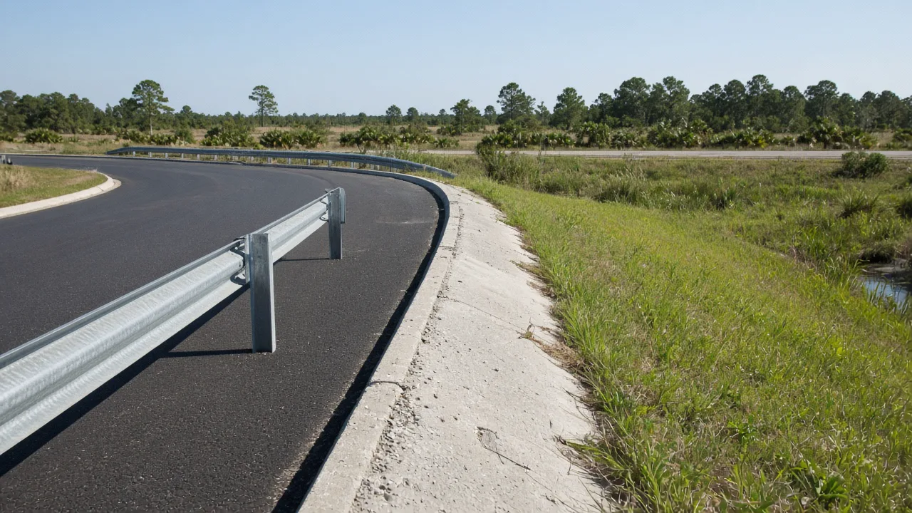
The code that already governs the other two interchanges
Citrus County already has interchange rules, and they name different roads. Land Development Code Chapter Seven, section 7400, says the purpose is managed development, safety, compatibility, and highway appearance inside interchange management areas on the Suncoast Parkway. The applicability sentence measures the area as properties within one mile, 5,280 feet, of the end of the ramp tapers, in each quadrant, for the SR-44 IMA and the Cardinal Street IMA. The June 22 ordinance draft says the board has previously adopted interchange management areas at State Road 44 and at West Cardinal Street. Section 7400 is that earlier code. It does not name County Road 486.
Policy 17.39.16 says the county shall adopt enhanced land-development standards for the CR-486 IMA, with emphasis on access management, driveway throat distances, separation of access from interchange ramps, unified landscaping, buffering, pedestrian circulation, trail connections, subdivision standards, signs, and lighting. That policy is a promise to write code after the map. It does not copy section 7400’s driveway table onto CR-486 by itself. A site plan on Norvell Bryant still uses the access rules that apply to that road today. If the board adopts 486IMA and then adopts code, the throat-distance and ramp-separation rules will be in that later ordinance. They are not a permit you can pull from this draft.
Section 7400’s existing standards, for the two interchanges it does name, are still useful as a picture of how this county writes an IMA once it reaches the code. New or expanded non-residential development there is expected to have central water and central sewer. The first access from a ramp taper follows the state rule on a state highway, or at least 660 feet and right-in/right-out on a locally controlled interstate access road. Driveway spacing of 660 feet is the county’s feasible minimum in that section. The first full median opening is at least 1,320 feet from the end of the egress-ramp taper. A landscape buffer of 25 feet, Type C, runs along the interchange access road. Free-standing signs in that section are capped at 20 feet, total sign area on a lot at 200 square feet, and new billboards are barred. Those numbers live in the code for SR-44 and Cardinal. Quoting them here is so a CR-486 reader can see the model. It is not a finding that 3499 West Norvell Bryant, or any other address, is already inside section 7400.
What the technical memo printed about the road, the water, and the flood line
The April 3, 2026 technical memo says the segment of Norvell Bryant Highway inside the IMA runs from the utility corridor to North Lecanto Highway, County Road 491. The county classifies that segment as a minor arterial. It is a divided four-lane road. FDOT’s 2025 annual average daily traffic for the segment is 19,400. Using the FDOT 2023 Multimodal Quality/Level of Service Handbook, the memo categorizes the context as C3C, suburban commercial. The generalized service-volume table in that handbook puts the level-of-service C maximum for a four-lane C3C arterial at 30,700. The memo’s arithmetic is that current traffic is 11,300 trips under that maximum, which it states as 37 percent under the level-of-service C volume.
The same memo cites the Hernando/Citrus Metropolitan Planning Organization’s 2050 long-range transportation plan, adopted in October 2024. That plan identifies CR-486 as a road that may be congested by 2050, specifically between the Suncoast Parkway ramps and West Pine Ridge Boulevard at the west end of the corridor. The memo also says no on-street improvements are proposed by 2050. Projects that come in under the 486IMA category would still have to submit a traffic study in development review. A 19,400 count is a corridor volume. It is not a trip generation for a store that has not been drawn, and it is not a commute-time promise.
Water and sewer are split. Citrus County Water Resources potable lines run along CR-486 and West Pine Ridge Boulevard and serve abutting properties and the Pine Ridge subdivision. Wastewater lines are not available along CR-486. Wastewater is onsite septic as properties develop. The memo says utility capacity is coordinated with Water Resources and Utility Business Services, and it cites the Southwest Florida Water Management District 2025–2045 Regional Water Supply Plan for the point that the Northern Planning Region, which includes Citrus, has sufficient potable supply for projected demand through 2045. Sufficient on a regional plan is not a commitment letter for a single parcel.
Flood and wetlands are small shares of the 1,560 acres, and they are still real. FEMA mapping in the memo shows 38 areas in the AE flood-hazard zone and five in the A zone. Together they are less than 5 percent of the IMA, about 64 acres. Southwest Florida Water Management District wetland mapping in the memo is about 20 acres, most of it in the Mixed-Use subarea. One palustrine freshwater emergent wetland of 0.40 acres sits in the proposed EDTA. Three other parcels hold about 19 acres of vegetated and non-vegetated non-forested wetland in Mixed-Use, and one of those is a stormwater pond. The memo says future development still has to bring wetland information at review. A corridor total is not a flood determination. Elevation certificates and zone lines stay on the parcel. The flood and insurance guide is the paperwork logic for a Florida house, including a house on this highway.
On habitat, the memo says Florida Natural Areas Inventory, the Florida Fish and Wildlife Conservation Commission, and the Florida Department of Environmental Protection do not flag the IMA as significant protected habitat. Red-cockaded woodpeckers and wood storks have been observed. Two bald eagle nests were documented around 2025, both in the proposed Mixed-Use subarea, north of Norvell Bryant Highway and west of Lecanto Highway, next to commercial property that is already developing. The memo says panther corridors and gopher tortoise habitat are not documented there. A nest note in a corridor memo is a reason to ask for the survey on a specific site. It is not a building moratorium the board has adopted.
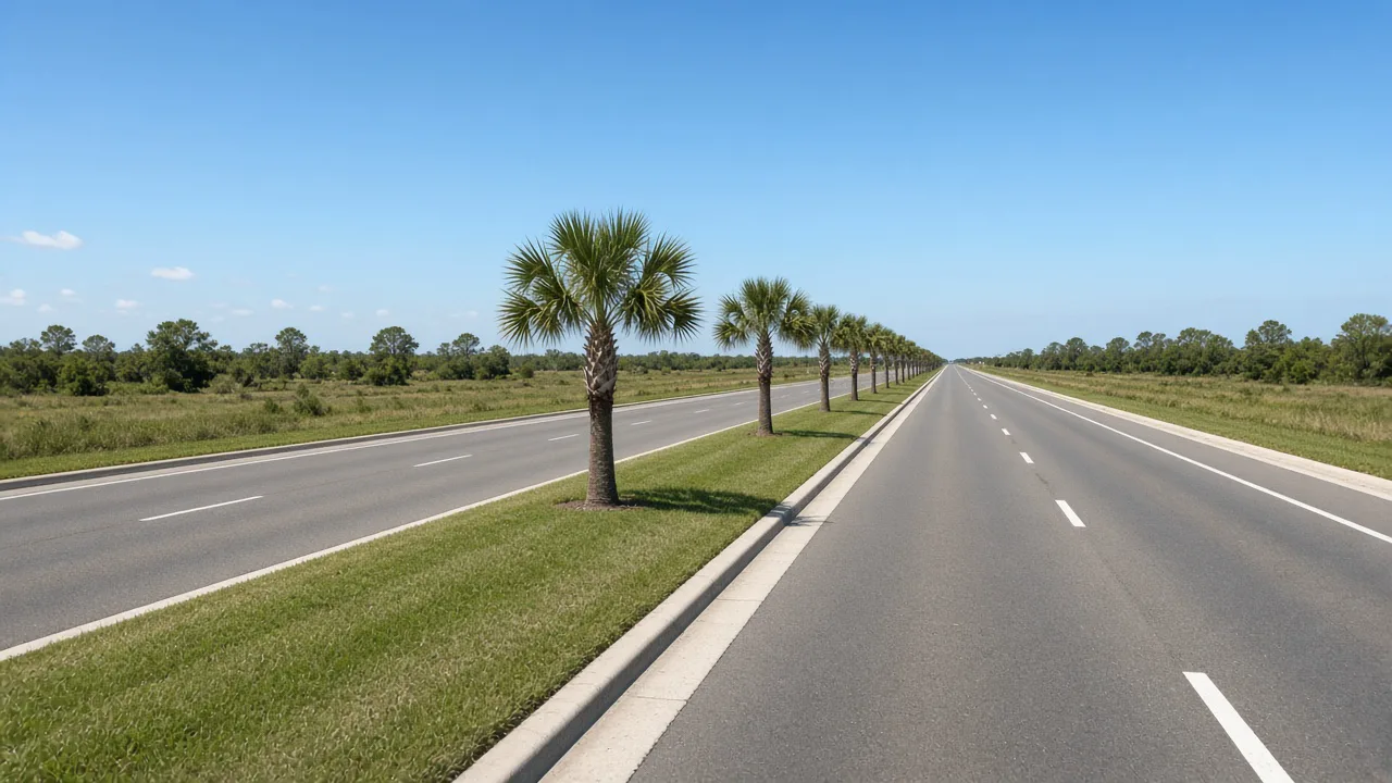
The parkway project is a different file
Florida’s Turnpike Enterprise’s project page for the Suncoast Parkway / SR 589 extension says the enterprise is extending the road 5.5 miles from West Norvell Bryant Highway / CR-486 to CR-495. That segment is Phase 3A of Suncoast Parkway 2, a four-lane tolled road, two lanes each way. The page estimates the project at $195 million and says construction is expected to continue through mid-2030. That is the highway file that starts at this interchange and runs north. It does not adopt Figure 10-38, and it does not place a private lot inside the right-of-way.
The official public meeting for the design of the parkway segment that begins at this highway is below. It is Florida’s Turnpike Enterprise’s virtual public information meeting for Suncoast Parkway 2, Phase 3, from CR-486 to US-19, held March 7, 2023. It is a corridor archive. It is not the October 26 adoption hearing, and it is not a claim that any commercial lot was approved in that meeting.
Use the video for the alignment the Turnpike described. Phase 3 on that recording runs from CR-486 to US-19 and is split at CR-495. Use the current Turnpike project page for the 5.5 miles, the $195 million estimate, and the mid-2030 window. Use the August 18 applications page and the June 22 minutes for the map. A 2023 design meeting, a 2026 project page, and a 2026 comprehensive-plan draft are three vintages.
The other CR-486 files are not this hearing
The August 18 applications list is full of named projects. The IMA is the county’s own map. The others are private applications with their own verbs. Do not let a corridor flyer treat the map as a groundbreaking for all of them.
Black Diamond Town Center is improvement plans IMP2024-00001 at 3499 W Norvell Bryant Hwy. On that vintage, approval has been issued and the subdivision is under construction. Final plat FPLT2025-00003 is awaiting the applicant’s revisions. The county did not print a lot count. Corta Black Diamond, final plat FPLT2026-00005, is seven non-residential lots and one tract at 3503 W Norvell Bryant Hwy, awaiting a mylar. Crystal Ridge is inland: Phase 1, IMP2024-00005, is 234 lots and 10 tracts at 5859 W Crystal Oaks Drive, infrastructure may commence, plat not submitted. Phase 2A, IMP2024-00006, is about 213 single-family lots, the same infrastructure sentence, plat not submitted. None of those status lines say the site is inside the IMA boundary. This briefing does not redraw Figure 10-38 onto those addresses. Ask for the map if someone says a lot is “in the interchange district.”
Other lines on the same page are still review files. Amber Ridge Phase 1, IMP2026-00002, is 129 lots at 3869 W Norvell Bryan Hwy, additional information requested. Sola Vista Villas, IMP2026-00003, is 8 lots at 1513 W Norvell Bryant Hwy, under review. Mythri Lecanto, CPA/AA/PUD-2025-00009, proposes 8 general-commercial lots and 2 high-density residential lots at 3768 W Norvell Bryant Hwy, with a tentative Planning and Development Commission date of November 12, 2026. SN Lecanto 486, CPA/AA-PUD-2026-00003, is about 79 acres at 4134 W Norvell Bryant Hwy, proposing 300 multifamily units, 230,000 square feet of general commercial, and 130,000 square feet of professional service and office, still waiting on more information before a hearing. Damron, CPA/AA/PUD-2026-00004, is about 5 acres at 4290 W Norvell Bryant Hwy in Crystal River, a professional and medical office proposal in sufficiency review. Those square feet and unit counts belong to their own applications. They are not the IMA’s missing absorption number.
The Black Diamond Ranch home guide remains the golf-community file. Ranch, Town Center, Corta, Crystal Ridge, and the interchange map are five different names. A buyer who hears “Black Diamond” or “the interchange” should ask which file number is on the paper.
People, schools, and a map
The population briefing is the people tape next to this boundary. Census QuickFacts, vintage V2025, puts Citrus at 171,666 on July 1, 2025, against a 2020 Census count of 153,843. The Bureau of Economic and Business Research’s April 1, 2025 estimate is 166,500, of which 155,292 were unincorporated. The school district’s January 27, 2025 preliminary projection was 14,845 students. QuickFacts lists 38.1 percent of residents age 65 and over and 14.2 percent under 18. Household size is 2.24. The 2020–2024 owner-occupied share is 85.2 percent. Housing units are 90,919. Building permits in 2025 were 2,102.
An older, owner-heavy, unincorporated county is the household base around a ramp that the draft wants to use for jobs in the EDTA and for commerce and workforce housing in Mixed-Use. The school count is not a boom. A map that allows six to twelve dwellings an acre, and twenty with a PUD and a maintained gathering place, is a category for new projects that trip the rule. It does not add 14,845 students, and it does not reprint the 2,102 permits as interchange absorption. Citrus 2050, the broader comprehensive-plan update, is a separate rewrite of the countywide plan. This hearing is one map amendment with its own October 26 clock.
What it does to a house, a pad, and a loan
For a seller on a street that feeds CR-486, the useful sentence is procedural. A comprehensive-plan map is set for an adoption hearing on October 26. The June 22 board already transmitted a draft that would change the rules for new or expanded projects inside a boundary of about 1,560 acres. Price the house against current comps. The pricing guide is the process. The ACS owner-value of $245,500 is countywide, not a Lecanto list price. A hearing date can change what a buyer asks about traffic and future use. It does not, by itself, raise or cut the contract. When a lender orders a value, that file is an appraisal, not this draft ordinance.
For a buyer of an existing house, Policy 17.39.4 is the sentence to keep. Lots of record keep the underlying district until a project trips the new category. An existing single-family lot is not automatically rezoned into a six-unit-per-acre minimum because it sits near a ramp. Ask whether the parcel is inside Figure 10-38, what the current future-land-use designation is, and whether anyone is proposing new units next door. The Florida home buying guide and the Lecanto home guide are the process files. Insurance and flood stay separate from the land-use hearing. A pre-approval is still a credit story. The house-rate print next to that credit story is the Freddie Mac survey at 6.95 percent for a 30-year fixed, and 6.26 percent for a 15-year, for the week ending September 17. The September 16 FOMC vote set the funds rate at 3.75–4.00 percent on a 12–0 vote. Neither number is printed on CPA-2026-00002. A payment still starts with a written quote on the mortgage page.
For a user or a land buyer who wants a bay or a pad near the ramps, the draft is a use list and a process, not a space you can tour. EDTA is where the transmitted text sends light industrial, manufacturing, warehousing, logistics, and professional and medical-support office, and where it bars new housing, batch plants, extractive uses, truck stops, and self-storage. Mixed-Use is where it sends commerce, hotels, offices, civic uses, self-storage, and housing at six to twelve units an acre, or twenty with the PUD conditions. Until code exists, a project that trips the category is steered into an atlas amendment and a PUD. Lease versus buy is the occupancy file. Citrus commercial land is the land file. The Citrus medical guide is the healthcare file. EDTA’s permitted list includes medical-support office. Damron’s five-acre office proposal at 4290 is a separate sufficiency-review file, not this map. Bridge Point’s commercial buying page is the service layer when the question is a specific site.
For a lender, the July SLOOS briefing is the national credit tape: banks’ answers on standards and demand for construction, land development, and income property. A Citrus map hearing does not change that survey. It can change the entitlement path a borrower will have to finish before a vertical building exists. Census counts starts and completions on a national survey. The county counts a transmitted comprehensive-plan draft and a hearing date. SLOOS asks whether the dirt loan still gets done. Keep the three clocks separate. The commercial investment page is the service layer when the question is an income property rather than a house. Residential buying and home selling are the house layer. The Citrus County market overview stays the residential county file.
How to use October 26
Print the vintage if you are talking to a seller, a lender, or an appraiser. Use the county’s labels: Citrus County development applications, updated August 18, 2026; CPA-2025-00008; Wade Trim for the county; CR-486 Interchange Management Area; Planning and Development Commission approval May 7, 2026; Board transmittal June 22, 2026, at 5:01 p.m.; adoption hearing October 26, 2026, at 5:01 p.m. Then add the clerk’s label for the transmitted draft: CPA-2026-00002; motion to transmit adopted; Davis moved; Kinnard seconded; Barek voted no.
Put the effective-date sentence in the same paragraph as the hearing date. October 26 is an adoption hearing. A hearing can adopt, continue, or change the draft. Section 6 of the May 21 draft says the board intends that the ordinance may be modified by what comes up at the public hearings, and that those modifications go into the final version the clerk files. The density band, the floor-area caps, the prohibited-use list, and the outdoor-storage wording are the transmitted text. They are the text to read before the hearing. They are not the text of an effective plan on September 24.
Ask three map questions before you price anything off this category. Is the parcel inside Figure 10-38? Is it in the EDTA or in Mixed-Use? Does the thing you want to build trip Policy 17.39.3, or is it an existing use on a lot of record? If the answer to the third question is that nothing new is proposed, the draft’s own text leaves the underlying district in place. If the answer is a new commercial building or extra units, the draft’s own text sends you toward a PUD, and toward code the county has not adopted for this interchange yet.
Statewide context stays on the Florida markets page. The commercial and residential pages are the service doors. A national starts print, a Freddie survey, and a funds-rate range explain the payment and the construction backdrop. They do not draw the boundary.
The through-line
The CR-486 Interchange Management Area is the county-drafted map for the Suncoast Parkway interchange at Norvell Bryant Highway. On the August 18, 2026 applications list it is CPA-2025-00008, with an adoption hearing on October 26, 2026, at 5:01 p.m. On the June 22 agenda, ordinance draft, and minutes it is CPA-2026-00002, and the board voted to transmit it, four to one. The transmitted text covers about 1,560 acres, split into an EDTA at the ramps and a Mixed-Use subarea everywhere else in the boundary. New housing is barred in the EDTA. Mixed-Use residential density in the draft runs from six to twelve dwellings an acre, or twenty with a PUD and maintained community space. Non-residential floor area ratio is capped at 1.0, or 1.5 if housing is in the project. The ordinary master-plan size is eight acres. The segment’s 2025 traffic count in the technical memo is 19,400 vehicles a day on a four-lane minor arterial, against a level-of-service C volume of 30,700. Wastewater lines are not on CR-486. The land-development code’s existing interchange rules still name SR-44 and Cardinal Street, not this road. Town Center, Corta, and Crystal Ridge keep their own file numbers. The house-rate tape is 6.95 percent. The national construction tape is starts at 1.275 million. If you are listing a house, buying a pad, or underwriting a user near this interchange before October 26, use the hearing date, both file numbers, and the map — and leave the absorption rate unwritten, because the county did not print one.
What to watch next
- October 26, 2026, 5:01 p.m.: the adoption hearing the August 18 applications page set for CPA-2025-00008. The clerk’s October 26 regular meeting did not yet have a published agenda packet on September 24. When that packet posts, read whether the item is still CPA-2026-00002 and whether state comments changed the draft.
- Land development code: Policy 17.39.16 says enhanced CR-486 interchange standards come later. Section 7400 today is SR-44 and Cardinal.
- Named plats, separate from the map: FPLT2025-00003 at Town Center, FPLT2026-00005 at Corta, and the still-unfiled Crystal Ridge plats.
- Citrus 2050: the countywide plan update, on its own calendar, not this map amendment.
- National tapes that will not draw this boundary: the next Freddie Mac survey, FHFA’s house price index scheduled for September 29, and Census new-home sales as its own closings file.
Sources: Citrus County Board of County Commissioners, Development Applications Submitted, page updated August 18, 2026 — CPA-2025-00008, Wade Trim as consultant for Citrus County, CR-486 Interchange Management Area; Planning and Development Commission May 7, 2026 approval; Board transmittal June 22, 2026, 5:01 p.m.; adoption set October 26, 2026, 5:01 p.m. Citrus County Clerk, Board of County Commissioners regular meeting June 22, 2026, agenda, agenda packet, and approved minutes — item U.1, CPA-2026-00002; motion to transmit adopted (mover Holly L. Davis, seconder Jeff Kinnard; ayes Davis, Bays, Kinnard, Finegan; nay Barek); May 21, 2026 draft ordinance and Exhibit A, Objective 17.39 and Policies 17.39.1 through 17.39.21, including the use lists, the six / twelve / twenty dwelling-unit bands, floor-area ratios of 1.0 and 1.5, and the eight-acre and five-acre project sizes. Wade Trim technical memo, “CR 486 IMA (486IMA) – Proposed Future Land Use Category,” version April 3, 2026, included in the June 22 packet, including the 1,560-acre description, FDOT 2025 AADT of 19,400, level-of-service C volume of 30,700, the Hernando/Citrus MPO 2050 long-range plan adopted October 2024, utility, flood (about 64 acres), and wetland (about 20 acres) notes, and the October 2025 property-appraiser subarea slides (EDTA about 720 acres, Mixed-Use about 837 acres). Citrus County Land Development Code, Chapter Seven, section 7400, Interchange Management Areas, SR-44 IMA and Cardinal Street IMA, one mile / 5,280 feet. Citrus County, Public Workshop for the CR 486 Interchange Management Area.php), August 24, 2022. Florida’s Turnpike Enterprise, Suncoast Parkway / SR 589 extension project page (Phase 3A, 5.5 miles from CR-486 to CR-495; estimated $195 million; construction expected through mid-2030) and the March 7, 2023 virtual public information meeting for Suncoast Parkway 2 Phase 3. Census QuickFacts Citrus County (V2025), BEBR April 1, 2025 estimates, and Citrus County Schools’ January 27, 2025 projection, cited as the already-published people tape. Freddie Mac Primary Mortgage Market Survey for the week ending September 17, 2026, the September 16, 2026 FOMC statement, Census/HUD CB26-147, and the July 2026 SLOOS, cited only as separate national tapes.
For help reading this boundary against a specific house, pad, or user requirement in Citrus County — or against Hernando, Pasco, Hillsborough, or Pinellas — contact Bridge Point Business & Real Estate Advisors at 352-515-0226 or request a consultation.
Questions people ask first
Quick answers to common questions about this topic.
What is the CR-486 Interchange Management Area?
It is a county-drafted comprehensive-plan map and set of standards for the Suncoast Parkway interchange at County Road 486, also called West Norvell Bryant Highway. The August 18, 2026 applications list tracks it as CPA-2025-00008, prepared by Wade Trim for Citrus County. The June 22, 2026 ordinance draft and minutes call the transmitted item CPA-2026-00002.
When is the adoption hearing?
The August 18, 2026 development-applications page sets the Board of County Commissioners adoption hearing for October 26, 2026, at 5:01 p.m. The Planning and Development Commission approval on that page is May 7, 2026. The board transmitted the draft on June 22, 2026, at 5:01 p.m.
Is the CR-486 map already adopted?
No. On June 22 the board adopted a motion to transmit CPA-2026-00002 to the Florida Department of Commerce and state agencies. The minutes record that vote as four ayes and one nay, from Commissioner Janet Barek. The draft ordinance’s effective-date section runs from an adopted amendment, not from transmittal. October 26 is the adoption hearing on the applications list.
How big is the proposed area, and how is it split?
Wade Trim’s materials in the June 22 packet size the CR-486 IMA at about 1,560 acres. The Economic Development Target Area, next to the ramps, is about 720 acres. The rest of the boundary is the Mixed-Use subarea, about 837 acres. The slides say the totals are affected by rounding.
What residential density does the transmitted draft allow?
New residential uses are prohibited in the EDTA. In the Mixed-Use subarea, density must be approved by a planned unit development, at a minimum of six dwellings per acre and a maximum of twelve. Density may rise to twenty dwellings per acre if a PUD approves it and the project includes gathering areas or community facilities that a private entity maintains. Low-density residential below six dwellings per acre is listed as prohibited in Mixed-Use.
Does this hearing approve Black Diamond Town Center or Crystal Ridge?
No. Town Center is improvement plan IMP2024-00001 at 3499 W Norvell Bryant Highway, which the August 18 list already calls under construction, with final plat FPLT2025-00003 still in revisions. Crystal Ridge is IMP2024-00005 and IMP2024-00006, where infrastructure may start and the plats are not filed. The interchange map is CPA-2025-00008 / CPA-2026-00002. The applications page does not say those subdivisions are inside the IMA boundary.
Does the land development code already regulate the CR-486 interchange?
Section 7400 of the land development code regulates interchange management areas measured one mile from the ramp tapers at the SR-44 and Cardinal Street interchanges. It does not name CR-486. Policy 17.39.16 in the transmitted draft says the county shall adopt enhanced land-development standards for the CR-486 IMA. Those standards are not the October 26 map vote by themselves.
Is this the same thing as August housing starts or a local sales median?
No. Census and HUD’s August construction release, CB26-147, is a national starts and completions tape. This map is not the National Association of Realtors’ existing-home sales report, not a Florida list-price index, not a cap rate, and not a Citrus closed-sale median. The county did not print an absorption rate for the interchange.
Talk with Bridge Point
Considering a purchase or sale in this market? Local guidance can make a meaningful difference.
Schedule a consultation
